
In Bangladesh, land surveys are key to growth and success. They help shape the country’s future. Let’s explore why these tasks are so important for Bangladesh’s progress.
As Bangladesh grows, we need more land data than ever. Accurate maps help with planning cities and farms. But what’s the real impact of these surveys on our nation?
Key Takeaways
- Understand the historical evolution of land mapping in Bangladesh and how it has shaped modern-day practices.
- Explore the various types of survey methods employed to gather essential data for land administration and management.
- Delve into the legal framework and requirements surrounding land surveys in Bangladesh, ensuring compliance and transparency.
- Discover the critical role of cadastral and topographic surveys in supporting development projects and infrastructure planning.
- Examine the far-reaching impact of land surveys on urban planning, agricultural land management, and real estate development across Bangladesh.
Land Surveys in Bangladesh
Land surveying in Bangladesh has a long history. It shows how the country’s landscape has changed. It also shows the need for accurate maps and property lines.
From old ways to new methods, mapping the land has helped the country grow.
Historical Development of Land Mapping
The start of land surveying in Bangladesh was during the colonial times. The British began to map the land and its areas. This work helped start the country’s cadastral surveys.
Today, these surveys are key for managing land.
Types of Modern Survey Methods
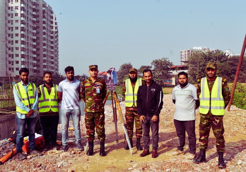
Now, Bangladesh uses many survey methods. Cadastral surveys make sure property lines are right. Topographic surveys give detailed info on the land and buildings.
- Aerial photos and satellite images help with surveys. They make mapping faster and more detailed.
- GPS technology makes surveys more accurate. It helps make maps that show exactly where things are.
Legal Framework and Requirements
The laws for land surveys in Bangladesh are clear. The State Acquisition and Tenancy Act of 1950 and the Land Survey Act of 1989 set the rules. They make sure surveys are done right.
Following these laws is important. It helps with things like registering property and planning cities. Land surveyors are key to Bangladesh’s progress.
Critical Role of Cadastral and Topographic Surveys
In Bangladesh, cadastral and topographic surveys are very important. They help with land management. They make sure property lines are right and help plan land use.
Cadastral surveys map out land and who owns it. This info is key for a fair land registry. It helps with taxes and solving land disputes. It also protects landowners’ rights.
Topographic surveys show Bangladesh’s landscape. They map elevation, water flow, and natural features. This info helps plan cities and manage resources.
Together, cadastral and topographic surveys help Bangladesh grow. They guide land use plans and find the best places for projects. This helps the country grow smartly and fairly.
| Survey Type | Key Purpose | Contribution to Development |
| Cadastral Surveys | Mapping and documenting land parcels, ownership, and land use | Maintaining a reliable land registry, facilitating fair taxation, and resolving property disputes |
| Topographic Surveys | Mapping the physical landscape, including elevation, drainage, and natural features | Informing urban planning, infrastructure development, and natural resource management |
Cadastral surveys in Bangladesh and topographic surveys are very important. They help the country grow smartly and fairly. By using this info, the government can make better choices for Bangladesh.
Land Surveys in Bangladesh: Impact on Development Projects
In Bangladesh, land surveys are key for development projects. They help with urban planning, infrastructure, and managing land for farming and real estate. We’ll see how these surveys help the country grow in different areas.
Urban Planning and Infrastructure
Good surveys are the base for planning cities and building infrastructure. They give info on land, topography, and buildings. This helps planners make better roads, utilities, and public spaces for more people.
Construction and aerial surveys make these projects better. They help us use resources well and avoid problems.
Agricultural Land Management
Agriculture is big in Bangladesh’s economy. Surveys help manage and use the land for farming. They check soil, terrain, and water for better farming and food. This way, farming gets better, and food for everyone gets safer.
Real Estate Development
Real estate in Bangladesh needs good surveys for safe deals and plans. Surveys help with building homes and businesses and follow rules. They give developers the info they need for projects.
Real estate folks use this data to make smart choices and help the economy grow.
FAQ
Q: What is the importance of land surveys in Bangladesh?
Ans: Land surveys are key in Bangladesh. They protect investments and follow the law. They help the country grow by setting property lines and solving disputes.
Q: What are the different types of land surveys conducted in Bangladesh?
Ans: Bangladesh uses many survey methods. Cadastral surveys map property lines. Topographic surveys show the land’s features. Both are vital for managing land.
Q: How do cadastral and topographic surveys impact land management in Bangladesh?
Ans: These surveys are very important in Bangladesh. They give clear info on property and land use. This helps with planning cities, buildings, farming, and real estate.
Q; What is the role of land surveys in development projects in Bangladesh?
Ans: Land surveys are crucial for projects in Bangladesh. They help with city planning, building, farming, and real estate. They ensure projects are done right and help the country grow.
Q; How do aerial surveys contribute to land mapping in Bangladesh?
Ans: Aerial surveys, like drone or aeroplane views, are key in Bangladesh. They give a clear view of the land. This helps make detailed maps for many projects and land management.