
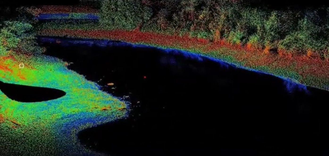
River Survey
Need reliable data for your river-based projects? A professional river survey is the solution. From mapping flow patterns to analysing depths and terrain, it delivers the insights you need to plan with confidence.
At Geo Static, we specialise in river survey services designed to support your project goals. Whether it’s for flood management, waterway construction, or environmental monitoring, we provide accurate and actionable data to keep your project on track.
What Does River Survey Include?
A river survey involves a detailed analysis of the river’s characteristics to ensure you have the insights needed for successful planning and decision-making. Here’s what we typically include:
- Hydrological Data Collection: We measure water flow, velocity, and levels to understand how the river behaves under various conditions.
- Cross-Sectional Surveys: Detailed profiles of the riverbed and banks help assess the depth, shape, and capacity of the river.
- Sediment Analysis: Monitoring sediment transport and deposition to evaluate erosion and siltation risks.
- Flood Risk Assessment: Identifying vulnerable areas to aid in planning defences and mitigation strategies.
- Ecological Assessment: Surveying aquatic life, vegetation, and habitats to support environmental compliance and sustainability efforts.
These components come together to provide a comprehensive understanding of the river, ensuring you can tackle challenges with confidence.
Our River Survey Services
At Geo Static, we provide a comprehensive range of river survey services designed to deliver accurate and actionable insights for your projects. Here’s what we offer:
- Hydrological Surveys: Understand the river’s behaviour with precise data on water levels, flow rates, and velocity—ideal for assessing flood risks and planning structures.
- Channel Cross-Sections: Gain a clear picture of the riverbed and banks to evaluate stability and capacity for your development or management needs.
- Sedimentation Studies: Monitor sedimentation patterns to predict erosion, deposition, and the long-term health of the waterway.
- Flood Modelling: Prepare for the unexpected by simulating potential flood scenarios, helping you reduce risks and protect communities.
- Environmental Surveys: Ensure your projects align with ecological and regulatory standards by assessing the river’s surrounding habitats.
With Geo Static’s river survey services, you’ll have all the critical data you need to create safer, sustainable, and efficient waterway solutions.

Why Choose Geo Static for River Survey?
Making the right choice for your river survey partner can set the stage for a successful project. At Geo Static, we’re committed to providing the expertise, accuracy, and reliability you need. Here’s what makes us stand out:
- Unmatched Accuracy: With cutting-edge technology, we ensure every detail is captured with precision you can count on.
- Experienced Team: Our professionals bring years of hands-on experience, giving you the confidence to tackle even complex challenges.
- Customised Solutions: Your project is unique, and our surveys are tailored to meet its exact requirements.
- Cost-Effective Services: We deliver premium-quality data without stretching your budget.
- On-Time Delivery: Timely insights are key to keeping your project on track. That’s why we always deliver when promised.
At Geo Static, we’re more than just a service provider—we’re a trusted partner dedicated to helping you achieve your goals with reliable insights and practical solutions.
Getting Started with GEO Static for River Survey
Ready to get started with your river survey? Geo Static is here to provide accurate and reliable data to support your flood risk management, infrastructure planning, and ecological assessments. Our experienced team is ready to assist with any questions, offer expert advice, and provide you with a custom quote for your project.
Contact us today at +880 1602060802, email us at info@geostaticbd.com, or simply fill out our online form. We’ll guide you through every step and ensure you have the precise information needed for your project.
At Geo Static, we’re dedicated to supporting your river survey needs with reliable, high-quality data.
The Geo Static River Survey Process
At Geo Static, we’ve designed a river survey process that delivers exceptional results while saving you time:
- Consultation
We start with a conversation to understand your project goals, challenges, and specific requirements. This helps us define the survey’s scope and tailor our approach.
- Survey Planning
Our team meticulously plans the survey, considering site conditions and project needs. We also ensure that all equipment is calibrated and ready for seamless execution.
- Data Processing
Using cutting-edge technology, we gather high-quality measurements. Whether it’s flow rates, depths, or terrain mapping, accuracy is our priority.
- Report Delivery
We deliver an easy-to-understand report with visual maps, graphs, and actionable recommendations. This ensures you have everything you need to make confident decisions.
Every step of our process is designed with one goal in mind: giving you the most reliable and relevant data to drive your project forward.
FAQs
Q: What is a river survey?
A: A river survey collects data on a river’s flow, depth, and surrounding environment. It is essential for flood risk management, infrastructure projects, and ecological assessments.
Q: How long does a river survey take?
A: The duration of a river survey depends on factors like the survey’s size and complexity. Typically, we provide an estimated timeline during the initial consultation.
Q: What equipment is used for river surveys?
A: We use advanced tools such as GPS systems, sonar, and hydrological instruments to gather accurate data and ensure reliable survey results.
Q: Why are river surveys important?
A: River surveys help in flood risk management, infrastructure planning, and environmental conservation by providing vital information for decision-making.
Q: Can I request a custom river survey?
A: Yes, we offer tailored surveys to meet your specific project needs, ensuring you get the exact data required for your objectives.
Our Process