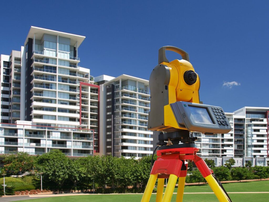
Bangladesh’s real estate is booming with more land buyers and developers than ever. But challenges like unclear boundaries and hidden land issues remain. Digital land surveys in Bangladesh are changing this by providing precise and reliable land information.
This helps everyone—from buyers to developers—make better decisions. Let’s explore how digital land surveys are transforming real estate in Bangladesh today.

Accurate Boundaries Build Trust in Land Deals
One of the biggest issues in Bangladesh’s real estate has been unclear or disputed property boundaries. Traditional surveys were often slow, inconsistent, and prone to errors. This led to many land disputes, legal battles, and lost money.
Digital land surveys use advanced technology—like GPS and drones—to measure boundaries with precision down to centimeters. This means property lines are clearly marked and documented.
For buyers, this accuracy means peace of mind. You know exactly what you’re getting. For sellers, it means a smoother sale without surprises. For developers, clear boundaries reduce legal risks and help plan projects better.
Overall, accurate surveys increase trust in the real estate market and reduce costly conflicts.
Faster Transactions and Better Development Planning
In the past, surveying land took days or weeks, slowing down property deals and construction approvals. Now, digital surveys speed up this process significantly.
By using drones and laser scanners, surveyors capture detailed images and measurements in hours, not days. This quick data collection allows faster preparation of land documents required for registration, permits, and financing.
Developers benefit too. Detailed topographic maps created by digital surveys show slopes, flood risks, and soil conditions. This helps design buildings and infrastructure that suit the land perfectly. It also supports better urban planning by local authorities.
The result? Faster project timelines, fewer surprises during construction, and better land use overall.
Improved Transparency and Legal Security
Digital land surveys contribute to transparency in Bangladesh’s real estate market. When survey data is stored digitally and linked to government land records, it’s easier to verify ownership and property details.
This transparency reduces fraud and illegal land sales, which have been a problem in some areas. It also provides solid evidence in case of disputes, making it easier for courts to settle conflicts fairly.
For property owners and investors, this means stronger legal protection and clearer ownership rights. It encourages more people to invest confidently in real estate.
Technology Supporting Sustainable Growth
Bangladesh faces many challenges such as rapid urban growth, climate change, and land scarcity. Digital land surveys support sustainable solutions by providing accurate data for environmental and planning decisions.
For example, detailed surveys help identify flood-prone areas or fragile ecosystems before construction starts. This helps developers avoid risky sites and supports government efforts to protect natural resources.
By integrating digital survey data with Geographic Information Systems (GIS), planners can design smarter cities that balance growth with sustainability.
Challenges Remain but Progress is Steady
Although digital land surveying is advancing quickly, some challenges still exist in Bangladesh’s real estate sector.
Rural areas may lack easy access to the latest survey technology. Skilled professionals are still in demand to operate complex equipment. Also, converting all existing paper land records into digital format will take time.
However, the government and private sector are investing in training, technology, and infrastructure. This progress promises a future where accurate digital land surveys become the norm everywhere in Bangladesh.
What This Means for You as a Buyer, Seller, or Developer
If you’re involved in Bangladesh’s real estate market, understanding digital land surveys can save you headaches and money.
- Buyers get reliable proof of property boundaries and land condition.
- Sellers can present verified land data that builds buyer confidence.
- Developers use detailed maps for better project design and risk management.
- Investors enjoy greater transparency and legal security.
In short, digital land surveys help make every real estate transaction safer and more efficient.
How Geo Static Survey Engineering & Consultants Can Help
At Geo Static Survey Engineering & Consultants, we are proud to support Bangladesh’s real estate sector with cutting-edge digital land surveying. Our expert team uses the latest tools and methods to deliver precise, trusted survey data.
Whether you are buying land, planning a development, or resolving boundary issues, we provide reliable surveys that empower you to make informed decisions.
Conclusion
Digital land surveys are transforming Bangladesh’s real estate sector by bringing greater accuracy, speed, and transparency to how land is measured and managed. This technology helps reduce disputes, speeds up transactions, and supports better planning and sustainable development.
As Bangladesh’s property market continues to grow, adopting digital surveying methods is becoming essential for buyers, sellers, developers, and authorities alike.
FAQs
Q: How do digital land surveys improve real estate transactions in Bangladesh?
A: They provide accurate property boundaries and land details quickly, reducing disputes and speeding up deals.
Q: Are digital land surveys accepted by government authorities?
A: Yes, digital survey data is increasingly integrated into official land records, making it more reliable for legal and registration purposes.
Q: Can digital land surveys help with urban planning?
A: Absolutely. Detailed maps help planners design infrastructure, manage flood risks, and promote sustainable development.
Q: Is digital land surveying affordable for most landowners in Bangladesh?
A: Costs vary, but the long-term benefits of avoiding legal issues and delays make digital surveys a smart investment.
Digital land surveys are changing Bangladesh’s real estate by making processes faster, clearer, and more accurate. For expert support, Geo Static Survey Engineering & Consultants is here to help you build a better real estate future.
