
LiDAR Survey
Accurate data is essential for any project, whether you’re developing land, building infrastructure, or conducting environmental studies. A LiDAR (Light Detection and Ranging) survey provides detailed, 3D data that helps you understand the terrain and features of your site.
At Geo Static, we offer fast and reliable LiDAR survey services, giving you the clear insights you need to keep your project on track and make informed decisions.

What Does LiDAR Survey Include?
A LiDAR survey uses laser technology to collect highly accurate data about the surface of the Earth. LiDAR offers a 3D point cloud that captures every landscape detail, unlike traditional survey methods.
This includes elevation, contours, and even vegetation. The technology is ideal for quickly mapping large areas, whether a dense forest, a rugged mountain range, or an urban environment.
Here’s what a LiDAR survey typically includes:
- High-Precision Data: LiDAR can measure distances with incredible accuracy, ensuring your data is reliable and precise.
- 3D Point Clouds: These point clouds represent the landscape in 3D, giving you a detailed view of the terrain, buildings, and other structures.
- Surface Mapping: It helps create detailed topographic maps, showing slopes, elevations, and changes in terrain.
- Vegetation & Infrastructure: LiDAR can also capture vegetation, buildings, and roads, allowing for more thorough planning and analysis.
This comprehensive data ensures that every detail of your project is accurately captured, setting the foundation for smarter decisions and smoother progress.

Our LiDAR Survey Services
At Geo Static, we offer a full range of LiDAR survey services tailored to your needs. Whether you’re working on a construction site, a forest management project, or a flood risk assessment, our LiDAR technology provides the data you need to make better decisions.
- Topographic Surveys: Our LiDAR surveys capture detailed elevation data, helping with land development and construction planning.
- Urban & Infrastructure Surveys: We create accurate 3D models of buildings, roads, and other infrastructure to assist in design and maintenance.
- Environmental Monitoring: From mapping forest canopies to monitoring coastal erosion, our LiDAR surveys help protect and manage natural resources.
- Mining & Quarry Surveys: LiDAR is perfect for measuring large open-pit mines, assessing volumes of materials, and improving site planning.
- Floodplain Mapping: We provide detailed floodplain models to help with risk assessments and disaster preparedness.
With our comprehensive LiDAR survey services, you can be confident that every detail of your project is based on accurate and reliable data, ensuring smooth progress from start to finish.
Why Choose Geo Static for LiDAR Survey?
There are plenty of survey companies out there, but what makes Geo Static stand out? Here’s why we’re the best choice for your LiDAR survey needs:
- Experienced Professionals: Our team has years of experience in using LiDAR technology for a wide range of industries.
- Cutting-Edge Equipment: We use the latest LiDAR equipment to ensure the highest level of precision and detail in our surveys.
- Custom Solutions: We don’t believe in one-size-fits-all. Our services are tailored to meet the specific needs of your project.
- Fast Turnaround: Need your data quickly? We offer fast processing times so you can move ahead with your project without delay.
- Affordable Pricing: We offer competitive pricing without compromising on quality, ensuring great value for your investment.
With our expertise, advanced technology, and customer-first approach, you can trust Geo Static to deliver accurate, timely, and cost-effective LiDAR surveys that meet your project’s needs.
Getting Started with GEO Static for LiDAR Survey
ady to take your project to the next level with precise LiDAR data? Get in touch with Geo Static today! Whether you need a topographic survey, floodplain mapping, or an environmental survey, our LiDAR services are here to help. We’re committed to delivering high-quality, accurate data that supports your success.
Call us now at +880 1602060802, email us at info@geostaticbd.com, or fill out our online form to get started. Let’s make your project a success with the power of LiDAR technology.
The Geo Static LiDAR Survey Process
Getting high-quality LiDAR survey data doesn’t have to be complicated. At Geo Static, we’ve streamlined the process to ensure quick, accurate results every time. Here’s how we do it:
- Consultation
We start by understanding your project needs. Whether it’s for construction, land management, or environmental monitoring, we make sure we’re aligned on your goals.
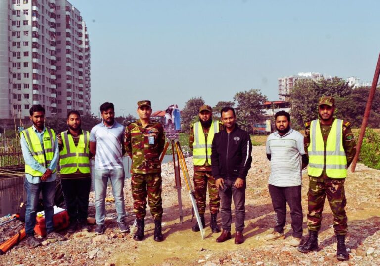
- Site Visit
Our experts use state-of-the-art LiDAR technology to gather precise data from your site. This allows us to capture everything from topography to structures with incredible detail.
- Data Processing
Once the data is collected, we process it to create accurate, 3D models. Our team analyses this data to ensure it meets your requirements.
- Report Delivery
We present the processed data in a user-friendly format, ready for you to use in your planning or decision-making process.
At Geo Static, we make sure the LiDAR survey process is straightforward, transparent, and designed to give you the most accurate results with minimal hassle. Let us handle the technical side so you can focus on what matters most: the success of your project.
FAQs
Q: What is a LiDAR survey used for?
A: LiDAR surveys are used for collecting accurate 3D data of landscapes, buildings, roads, and vegetation. It’s perfect for topographic mapping, urban planning, environmental monitoring, and more.
Q: How accurate is LiDAR data?
A: LiDAR provides highly accurate measurements, often with a margin of error as low as a few centimetres. This level of precision is essential for projects that require detailed information.
Q: How long does a LiDAR survey take?
A: The time it takes depends on the size and complexity of the project. However, LiDAR surveys are generally quicker than traditional methods, making them an efficient choice.
Q: Is LiDAR data easy to understand?
A: Yes! We provide the data in easy-to-understand formats, such as 3D models and maps, so you can make informed decisions with minimal effort.
Q: How much does a LiDAR survey cost?
A: The cost varies depending on the size and complexity of your project. We offer competitive pricing, ensuring you get great value for your investment.
Our Process